logo

EbookBell.com

Most ebook files are in PDF format, so you can easily read them using various software such as Foxit Reader or directly on the Google Chrome browser.
Some ebook files are released by publishers in other formats such as .awz, .mobi, .epub, .fb2, etc. You may need to install specific software to read these formats on mobile/PC, such as Calibre.

Please read the tutorial at this link:  https://ebookbell.com/faq 


We offer FREE conversion to the popular formats you request; however, this may take some time. Therefore, right after payment, please email us, and we will try to provide the service as quickly as possible.


For some exceptional file formats or broken links (if any), please refrain from opening any disputes. Instead, email us first, and we will try to assist within a maximum of 6 hours.

EbookBell Team
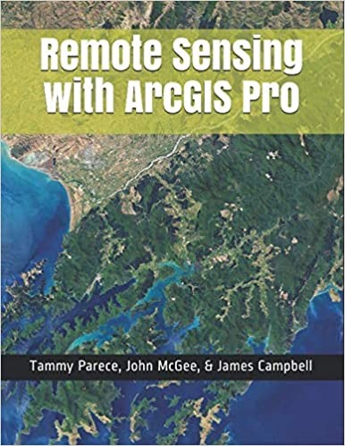
Remote Sensing With Arcgis Pro Tammy E Parece John A Mcgee

  • SKU: BELL-46157178
Remote Sensing With Arcgis Pro Tammy E Parece John A Mcgee
$ 31.00 $ 45.00 (-31%)

5.0

100 reviews

Remote Sensing With Arcgis Pro Tammy E Parece John A Mcgee instant download after payment.

Publisher: Virginia Geospatial Extension Program
File Extension: EPUB
File size: 14.15 MB
Pages: 414
Author: Tammy E. Parece, John A. McGee, James B. Campbell
ISBN: 9781797570983, 1797570986
Language: English
Year: 2019

Product desciption

Remote Sensing With Arcgis Pro Tammy E Parece John A Mcgee by Tammy E. Parece, John A. Mcgee, James B. Campbell 9781797570983, 1797570986 instant download after payment.

Remotely sensed images are widely available and have countless potential applications. In the past, analyzing these images required specialized software. Esri’s ArcGIS Pro software includes tools that can be used by novice and experienced analysts. In this manual, we provide a series of easy-to-understand, step-by-step tutorials to guide you through image analysis processes.
By completing this series of tutorials, you will be able to:
• Manipulate data in ArcGIS Pro
• Obtain and display Landsat data
• Display image data from Landsat or other remote sensing platforms (including Sentinel and sUAS)
• Enhance and analyze remotely sensed imagery.

Related Products