Most ebook files are in PDF format, so you can easily read them using various software such as Foxit Reader or directly on the Google Chrome browser.
Some ebook files are released by publishers in other formats such as .awz, .mobi, .epub, .fb2, etc. You may need to install specific software to read these formats on mobile/PC, such as Calibre.
Please read the tutorial at this link: https://ebookbell.com/faq
We offer FREE conversion to the popular formats you request; however, this may take some time. Therefore, right after payment, please email us, and we will try to provide the service as quickly as possible.
For some exceptional file formats or broken links (if any), please refrain from opening any disputes. Instead, email us first, and we will try to assist within a maximum of 6 hours.
EbookBell Team
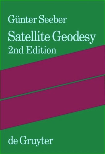
4.1
30 reviewsThis book covers the entire field of satellite geodesy and is intended to serve as a textbook for advanced undergraduate and graduate students, as well as a reference for professionals and scientists in the fields of engineering and geosciences such as geodesy, surveying engineering, geomatics, geography, navigation, geophysics and oceanography.
The text provides a systematic overview of fundamentals including reference systems, time, signal propagation and satellite orbits, together with observation methods such as satellite laser ranging, satellite altimetry, gravity field missions, very long baseline interferometry, Doppler techniques, and Global Navigation Satellite Systems (GNSS). Particular emphasis is given to positioning techniques, such as the NAVSTAR Global Positioning System (GPS), and to applications. Numerous examples are included which refer to recent results in the fields of global and regional control networks; gravity field modeling; Earth rotation and global reference frames; crustal motion monitoring; cadastral and engineering surveying; geoinformation systems; land, air, and marine navigation; marine and glacial geodesy; and photogrammetry and remote sensing.
This book will be an indispensable source of information for all concerned with satellite geodesy and its applications, in particular for spatial referencing, geoinformation, navigation, geodynamics, and operational positioning.