
Most ebook files are in PDF format, so you can easily read them using various software such as Foxit Reader or directly on the Google Chrome browser.
Some ebook files are released by publishers in other formats such as .awz, .mobi, .epub, .fb2, etc. You may need to install specific software to read these formats on mobile/PC, such as Calibre.
Please read the tutorial at this link: https://ebookbell.com/faq
We offer FREE conversion to the popular formats you request; however, this may take some time. Therefore, right after payment, please email us, and we will try to provide the service as quickly as possible.
For some exceptional file formats or broken links (if any), please refrain from opening any disputes. Instead, email us first, and we will try to assist within a maximum of 6 hours.
EbookBell Team

0.0
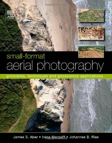
0 reviewsAs the need for geographical data rapidly expands in the 21st century, so too do applications of small-format aerial photography for a wide range of scientific, commercial and governmental purposes. Small-format Aerial Photography (SFAP) presents basic and advanced principles and techniques with an emphasis on digital cameras. Unmanned platforms are described in considerable detail, including kites, helium and hot-air blimps, model airplanes, and paragliders. Several case studies, primarily drawn from the geosciences, are presented to demonstrate how SFAP is actually used in various applications. Many of these integrate SFAP with ground-based investigations as well as conventional large-format aerial photography, satellite imagery, and other kinds of geographic information.
*Full-color photographs throughout *Case studies from around the globe *Techniques presented allow for image resolution impossible to match via traditional aerial photography or satellite datasets *Glossary clarifies key terms