
Most ebook files are in PDF format, so you can easily read them using various software such as Foxit Reader or directly on the Google Chrome browser.
Some ebook files are released by publishers in other formats such as .awz, .mobi, .epub, .fb2, etc. You may need to install specific software to read these formats on mobile/PC, such as Calibre.
Please read the tutorial at this link: https://ebookbell.com/faq
We offer FREE conversion to the popular formats you request; however, this may take some time. Therefore, right after payment, please email us, and we will try to provide the service as quickly as possible.
For some exceptional file formats or broken links (if any), please refrain from opening any disputes. Instead, email us first, and we will try to assist within a maximum of 6 hours.
EbookBell Team

4.3
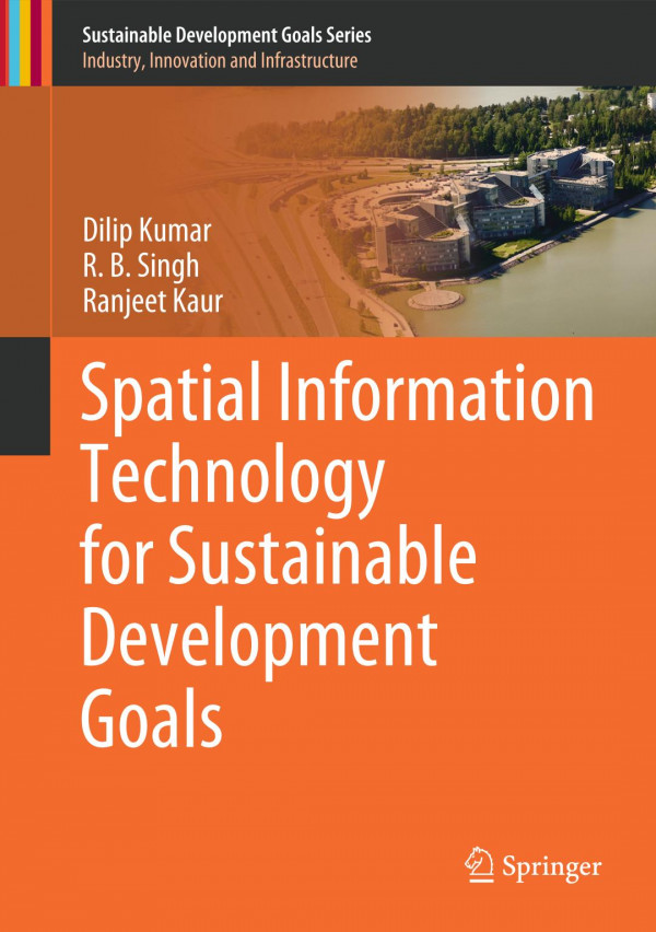
28 reviewsThis textbook aims to develop a scientific knowledge base on spatial information technology to communicate the United Nations' Sustainable Development Goals (SDGs) among students, researchers, professionals and laymen. The book improves understanding of the spatial database and explains how to extract information from this for planning purposes. To enhance the knowledge of geoscientists and environmentalists, the book describes the basic fundamental concepts to advance techniques for spatial data management and analysis and discusses the methodology. The Geographic Information System (GIS), remote sensing and Global Positioning System (GPS) are presented in an integrated manner for the planning of resources and infrastructure. The management of these systems is discussed in a very lucid way to develop the reader's skills. The proper procedure for map making and spatial analysis are included along with case studies to the reader. Where the first part of the book discusses the conceptual background, the second part deals with case studies using these applications in different disciplines. The presented case studies include land use, agriculture, flood, watershed characterization and infrastructure assessment for the Sustainable Development Goals.