Most ebook files are in PDF format, so you can easily read them using various software such as Foxit Reader or directly on the Google Chrome browser.
Some ebook files are released by publishers in other formats such as .awz, .mobi, .epub, .fb2, etc. You may need to install specific software to read these formats on mobile/PC, such as Calibre.
Please read the tutorial at this link: https://ebookbell.com/faq
We offer FREE conversion to the popular formats you request; however, this may take some time. Therefore, right after payment, please email us, and we will try to provide the service as quickly as possible.
For some exceptional file formats or broken links (if any), please refrain from opening any disputes. Instead, email us first, and we will try to assist within a maximum of 6 hours.
EbookBell Team
4.4
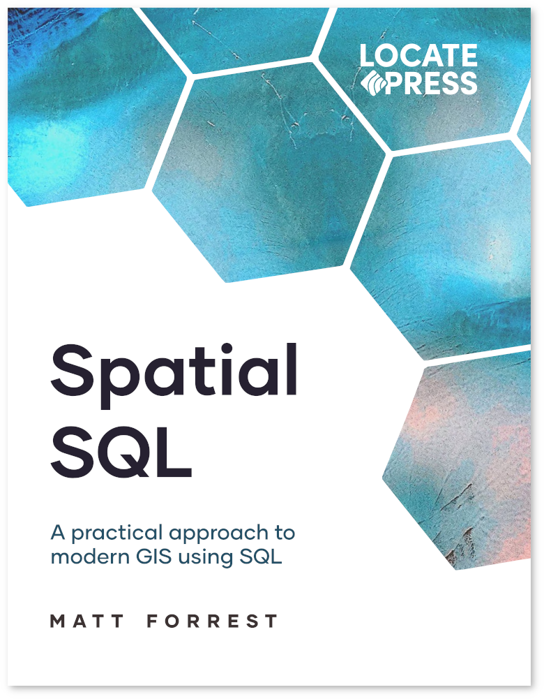
62 reviewsLearn how to use Spatial SQL to analyze and manipulate geographic data. This book covers everything from basic spatial queries to advanced spatial analysis techniques all using SQL. Even if you don't know how SQL, this book starts from the beginning all the way to advanced queries.
Over 500 pages covers a comprehensive set of GIS topics.
Why SQL? - The evolution to modern GIS, why spatial SQL matters, and the spatial SQL landscape today
Setting up - Installing PostGIS with Docker on any operating system
Thinking in SQL - How to move from desktop GIS to SQL and learn how to structure queries independently
The basics of SQL - Import data to PostgreSQL and PostGIS, SQL data types, and core SQL operations
Advanced SQL - Statistical functions, joins, window functions, managing data, and user-defined functions
Using the GEOMETRY - Working with GEOMETRY and GEOGRAPHY data, data manipulation, and measurements
Spatial relationships - Spatial joins, distance relationships, clustering, and overlay functions
Spatial analysis - Recreate common spatial analysis "toolbox" tools all in spatial SQL
Advanced analysis - Data enrichment, line of sight, kernel density estimation, and more
Raster data - Importing, analyzing, interpolating, and using H3 spatial indexes with raster data in PostGIS
Suitability analysis - Importing, analyzing, interpolating, and using H3 spatial indexes with raster data in PostGIS
Routing with pgRouting - Routing for cars and bikes, travel time isochrones, and traveling salesperson problem
Spatial data science - Spatial autocorrelation, location allocation, and create territories with PySAL in PostGIS