logo

EbookBell.com

Most ebook files are in PDF format, so you can easily read them using various software such as Foxit Reader or directly on the Google Chrome browser.
Some ebook files are released by publishers in other formats such as .awz, .mobi, .epub, .fb2, etc. You may need to install specific software to read these formats on mobile/PC, such as Calibre.

Please read the tutorial at this link:  https://ebookbell.com/faq 


We offer FREE conversion to the popular formats you request; however, this may take some time. Therefore, right after payment, please email us, and we will try to provide the service as quickly as possible.


For some exceptional file formats or broken links (if any), please refrain from opening any disputes. Instead, email us first, and we will try to assist within a maximum of 6 hours.

EbookBell Team
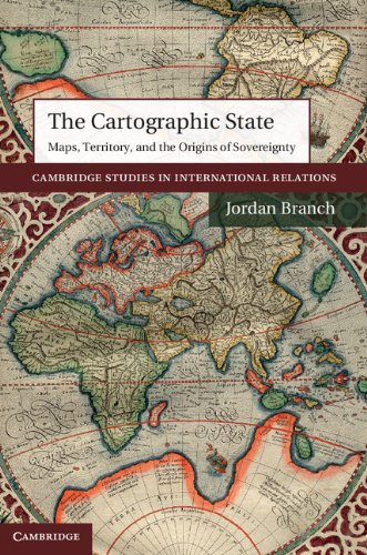
The Cartographic State Maps Territory And The Origins Of Sovereignty 1st Edition Jordan Branch

  • SKU: BELL-4650782
The Cartographic State Maps Territory And The Origins Of Sovereignty 1st Edition Jordan Branch
$ 31.00 $ 45.00 (-31%)

0.0

0 reviews

The Cartographic State Maps Territory And The Origins Of Sovereignty 1st Edition Jordan Branch instant download after payment.

Publisher: Cambridge University Press
File Extension: PDF
File size: 7.34 MB
Pages: 238
Author: Jordan Branch
ISBN: 9781107040960, 1107040965
Language: English
Year: 2014
Edition: 1

Product desciption

The Cartographic State Maps Territory And The Origins Of Sovereignty 1st Edition Jordan Branch by Jordan Branch 9781107040960, 1107040965 instant download after payment.

Why is today's world map filled with uniform states separated by linear boundaries? The answer to this question is central to our understanding of international politics, but the question is at the same time much more complex - and more revealing - than we might first think. This book examines the important but overlooked role played by cartography itself in the development of modern states. Drawing upon evidence from the history of cartography, peace treaties and political practices, the book reveals that early modern mapping dramatically altered key ideas and practices among both rulers and subjects, leading to the implementation of linear boundaries between states and centralized territorial rule within them. In his analysis of early modern innovations in the creation, distribution and use of maps, Branch explains how the relationship between mapping and the development of modern territories shapes our understanding of international politics today.

Related Products