logo

EbookBell.com

Most ebook files are in PDF format, so you can easily read them using various software such as Foxit Reader or directly on the Google Chrome browser.
Some ebook files are released by publishers in other formats such as .awz, .mobi, .epub, .fb2, etc. You may need to install specific software to read these formats on mobile/PC, such as Calibre.

Please read the tutorial at this link:  https://ebookbell.com/faq 


We offer FREE conversion to the popular formats you request; however, this may take some time. Therefore, right after payment, please email us, and we will try to provide the service as quickly as possible.


For some exceptional file formats or broken links (if any), please refrain from opening any disputes. Instead, email us first, and we will try to assist within a maximum of 6 hours.

EbookBell Team
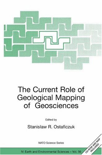
The Current Role Of Geological Mapping In Geosciences 1st Edition Stanisaw Ostaficzuk

  • SKU: BELL-2518100
The Current Role Of Geological Mapping In Geosciences 1st Edition Stanisaw Ostaficzuk
$ 31.00 $ 45.00 (-31%)

0.0

0 reviews

The Current Role Of Geological Mapping In Geosciences 1st Edition Stanisaw Ostaficzuk instant download after payment.

Publisher: Springer
File Extension: PDF
File size: 23.57 MB
Pages: 304
Author: Stanisław Ostaficzuk
ISBN: 9781402035494, 1402035497
Language: English
Year: 2005
Edition: 1

Product desciption

The Current Role Of Geological Mapping In Geosciences 1st Edition Stanisaw Ostaficzuk by Stanisław Ostaficzuk 9781402035494, 1402035497 instant download after payment.

The book contains private views of experts from various countries on the role of geological mapping in sustainable development. New technologies and concepts are presented, which are either awaiting for recognition by Geological Surveys, or are gradually applied in some survey. The target of the book is well worded in the "Summary and recommendations" elaborated by the Ad Hoc Committee at the Advanced ResearchWorkshop on Innovative Geological Cartography, held under NATO sponsorship in Poland in November 2003. After the "Summaries" were issued by the end of 2003, the authors who presented their views at the Workshop, gave revised versions of their papers with more new ideas and materials. Generally, the book is addressed to cartographers in Geological Surveys, geologists and geographers co-operating with landuse planners, ecologists and decision makers, who may learn about the state-of-the-art and the enormous information potential of the modern information technologies in Geosciences. The book, however, gives no methodological recipes but, as it was authors' intention, may and shall be used as a guide-book in modernizing Information Technologies at the local, regional and national levels in Geosciences.

Related Products