Most ebook files are in PDF format, so you can easily read them using various software such as Foxit Reader or directly on the Google Chrome browser.
Some ebook files are released by publishers in other formats such as .awz, .mobi, .epub, .fb2, etc. You may need to install specific software to read these formats on mobile/PC, such as Calibre.
Please read the tutorial at this link: https://ebookbell.com/faq
We offer FREE conversion to the popular formats you request; however, this may take some time. Therefore, right after payment, please email us, and we will try to provide the service as quickly as possible.
For some exceptional file formats or broken links (if any), please refrain from opening any disputes. Instead, email us first, and we will try to assist within a maximum of 6 hours.
EbookBell Team
4.7
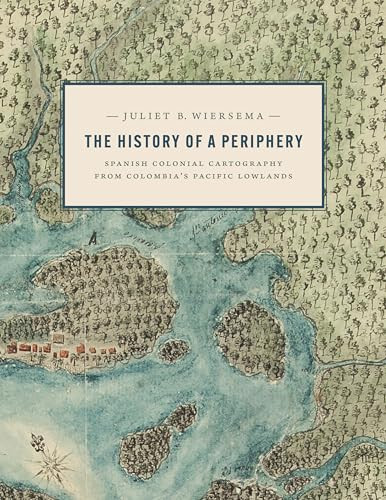
26 reviewsDuring the late Spanish colonial period, the Pacific Lowlands, also called the Greater Chocó, was famed for its rich placer deposits. Gold mined here was central to New Granada’s economy yet this Pacific frontier in today’s Colombia was considered the “periphery of the periphery.” Infamous for its fierce, unconquered Indigenous inhabitants and its brutal tropical climate, it was rarely visited by Spanish administrators, engineers, or topographers and seldom appeared in detail on printed maps of the period.
In this lavishly illustrated and meticulously researched volume, Juliet Wiersema uncovers little-known manuscript cartography and makes visible an unexamined corner of the Spanish empire. In concert with thousands of archival documents from Colombia, Spain, and the United States, she reveals how a "periphery" was imagined and projected, largely for political or economic reasons. Along the way, she unearths untold narratives about ephemeral settlements, African adaptation and autonomy, Indigenous strategies of resistance, and tenuous colonialisms on the margins of a beleaguered viceroyalty.