
Most ebook files are in PDF format, so you can easily read them using various software such as Foxit Reader or directly on the Google Chrome browser.
Some ebook files are released by publishers in other formats such as .awz, .mobi, .epub, .fb2, etc. You may need to install specific software to read these formats on mobile/PC, such as Calibre.
Please read the tutorial at this link: https://ebookbell.com/faq
We offer FREE conversion to the popular formats you request; however, this may take some time. Therefore, right after payment, please email us, and we will try to provide the service as quickly as possible.
For some exceptional file formats or broken links (if any), please refrain from opening any disputes. Instead, email us first, and we will try to assist within a maximum of 6 hours.
EbookBell Team

5.0
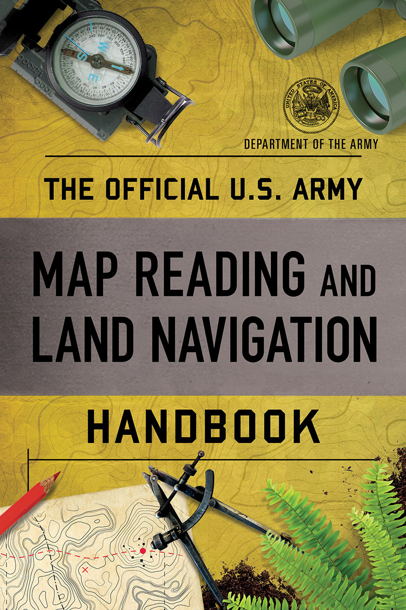
38 reviewsThe U.S. Army's official guide to map reading, determining location, and navigating
For a soldier, knowing where you are is a matter of life and death, and so it comes as no surprise that the Army has produced the most complete, clear, and thorough guide to map reading and navigation available.
The book starts with a comprehensive explanation of the meaning and uses of maps, whether photographic, planimetric (standard-style), or topographic, then proceeds to the use of those maps, discussing compass techniques, celestial navigation, and determination of distance. There is a detailed section on interpreting topographic maps, with notes on tactical considerations for differing terrain, as well as determining the ease of movement through an area.
The book's crucial, well-illustrated chapters have invaluable information on: