
Most ebook files are in PDF format, so you can easily read them using various software such as Foxit Reader or directly on the Google Chrome browser.
Some ebook files are released by publishers in other formats such as .awz, .mobi, .epub, .fb2, etc. You may need to install specific software to read these formats on mobile/PC, such as Calibre.
Please read the tutorial at this link: https://ebookbell.com/faq
We offer FREE conversion to the popular formats you request; however, this may take some time. Therefore, right after payment, please email us, and we will try to provide the service as quickly as possible.
For some exceptional file formats or broken links (if any), please refrain from opening any disputes. Instead, email us first, and we will try to assist within a maximum of 6 hours.
EbookBell Team

4.1
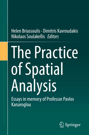
30 reviewsThis edited volume compiles a set of papers that present various applications of spatial analysis, both traditional and contemporary, on diverse subjects in a wide range of contexts. The volume is dedicated to the memory of the late Professor Pavlos Kanaroglou, McMaster University, Canada, who greatly contributed to scientific and applied research on spatial analysis. In his honor, the book offers a selection of various spatial analysis approaches to the study of contemporary urban transportation, land use, and air pollution issues.
The first part of the book discusses selected general issues in spatial analysis; ontologies, agent-based modelling and accessibility analysis. The second part deals with urban transportation analysis and modelling issues; agent-based activity/travel microsimulation, bottleneck models, public transit use, freight transport and connected automated vehicles impact assessment. Part three focuses on integrated land use and transport analysis, discussing the land value impacts of public transport infrastructure, the role of transport provision on business evolution and commute distance considerations in urban relocation. The fourth part, on travel-related air pollution analysis, presents the development of a geo-information software for mapping Aerosol Optical Thickness in urban environments and the development of a neighborhood level, real time, internet-enabled, air pollution map in the Canadian urban context. This book will appeal to academics, researchers, graduate students, consultants, and practitioners working on topics related to spatial analysis, land use and transport analysis, planning and decision making, and air pollution studies.