Most ebook files are in PDF format, so you can easily read them using various software such as Foxit Reader or directly on the Google Chrome browser.
Some ebook files are released by publishers in other formats such as .awz, .mobi, .epub, .fb2, etc. You may need to install specific software to read these formats on mobile/PC, such as Calibre.
Please read the tutorial at this link: https://ebookbell.com/faq
We offer FREE conversion to the popular formats you request; however, this may take some time. Therefore, right after payment, please email us, and we will try to provide the service as quickly as possible.
For some exceptional file formats or broken links (if any), please refrain from opening any disputes. Instead, email us first, and we will try to assist within a maximum of 6 hours.
EbookBell Team
4.0
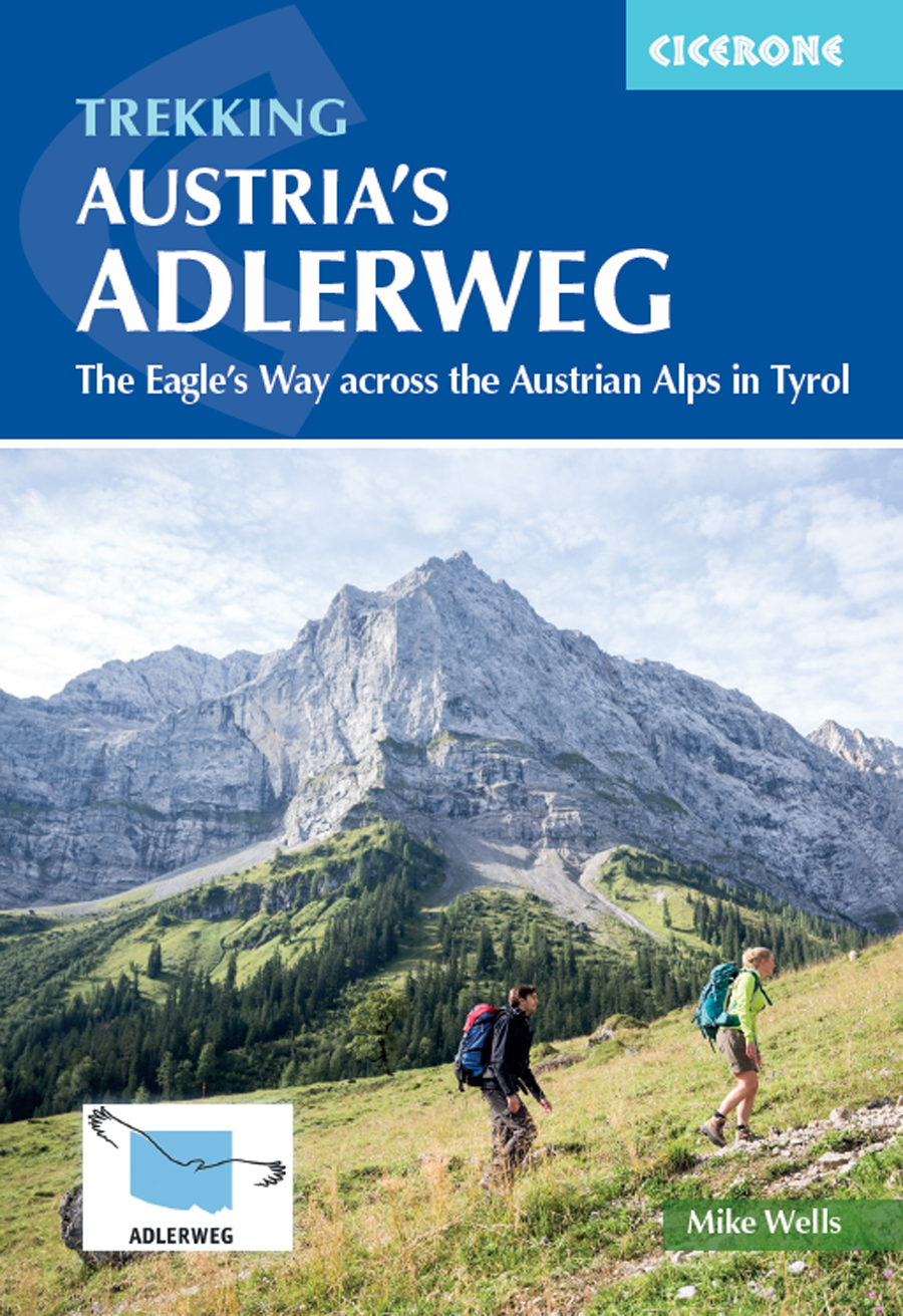
46 reviewsA guidebook to walking the Adlerweg (Eagle Walk) trail between St Johann in Tirol and St Anton am Arlberg via Innsbruck. Covering 324km (201 miles), this long-distance trek through the Austrian Tyrolean Alps is suitable for any reasonably fit, experienced walker and can be walked in 3 weeks.
The route is described from east to west in 24 stages, each between 7 and 32km (4–20 miles) in length. Easier, alternative routes are also included for those wanting to avoid the most technical stages.