
Most ebook files are in PDF format, so you can easily read them using various software such as Foxit Reader or directly on the Google Chrome browser.
Some ebook files are released by publishers in other formats such as .awz, .mobi, .epub, .fb2, etc. You may need to install specific software to read these formats on mobile/PC, such as Calibre.
Please read the tutorial at this link: https://ebookbell.com/faq
We offer FREE conversion to the popular formats you request; however, this may take some time. Therefore, right after payment, please email us, and we will try to provide the service as quickly as possible.
For some exceptional file formats or broken links (if any), please refrain from opening any disputes. Instead, email us first, and we will try to assist within a maximum of 6 hours.
EbookBell Team

4.4
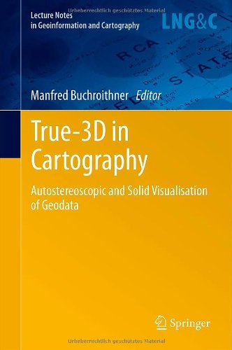
102 reviewsAs corroborated by the never-sagging and even increasing interest within the last decade, the intuitive attraction of "True 3D" in geodata presentation is well worth covering its current status and recent developments in a compendium like the present one. It covers most aspects of (auto-) stereoscopic representation techniques of both topographic and thematic geodata, be they haptic or not. Theory is treated as well as are many fields of concrete applications. Displays for big audiences and special single-user applications are presented, well-established technologies like classical manual fabrication of landscape reliefs contrast with cutting-edge developments