logo

EbookBell.com

Most ebook files are in PDF format, so you can easily read them using various software such as Foxit Reader or directly on the Google Chrome browser.
Some ebook files are released by publishers in other formats such as .awz, .mobi, .epub, .fb2, etc. You may need to install specific software to read these formats on mobile/PC, such as Calibre.

Please read the tutorial at this link:  https://ebookbell.com/faq 


We offer FREE conversion to the popular formats you request; however, this may take some time. Therefore, right after payment, please email us, and we will try to provide the service as quickly as possible.


For some exceptional file formats or broken links (if any), please refrain from opening any disputes. Instead, email us first, and we will try to assist within a maximum of 6 hours.

EbookBell Team
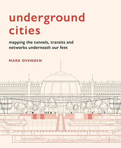
Underground Cities Mapping The Tunnels Transits And Networks Underneath Our Feet Illustrated Mark Ovenden

  • SKU: BELL-43749962
Underground Cities Mapping The Tunnels Transits And Networks Underneath Our Feet Illustrated Mark Ovenden
$ 31.00 $ 45.00 (-31%)

0.0

0 reviews

Underground Cities Mapping The Tunnels Transits And Networks Underneath Our Feet Illustrated Mark Ovenden instant download after payment.

Publisher: Frances Lincoln
File Extension: EPUB
File size: 35.59 MB
Pages: 224
Author: Mark Ovenden
ISBN: 9781781318935, 178131893X
Language: English
Year: 2020
Edition: Illustrated

Product desciption

Underground Cities Mapping The Tunnels Transits And Networks Underneath Our Feet Illustrated Mark Ovenden by Mark Ovenden 9781781318935, 178131893X instant download after payment.

With over 60 per cent of the world’s population living in cities, the networks beneath our feet – which keep the cities above moving – are more important than ever before. Yet we never truly see how these amazing feats of engineering work. Just how deep do the tunnels go? Where do the sewers, bunkers and postal trains run? And, how many tunnels are there under our streets? 

Each featured city presents a ‘skyline of the underground’ through specially commissioned cut-away illustrations and unique cartography. Drawing on geography, cartography and historical oddities, Mark Ovenden explores what our cities look like from the bottom up.

Related Products