logo

EbookBell.com

Most ebook files are in PDF format, so you can easily read them using various software such as Foxit Reader or directly on the Google Chrome browser.
Some ebook files are released by publishers in other formats such as .awz, .mobi, .epub, .fb2, etc. You may need to install specific software to read these formats on mobile/PC, such as Calibre.

Please read the tutorial at this link:  https://ebookbell.com/faq 


We offer FREE conversion to the popular formats you request; however, this may take some time. Therefore, right after payment, please email us, and we will try to provide the service as quickly as possible.


For some exceptional file formats or broken links (if any), please refrain from opening any disputes. Instead, email us first, and we will try to assist within a maximum of 6 hours.

EbookBell Team
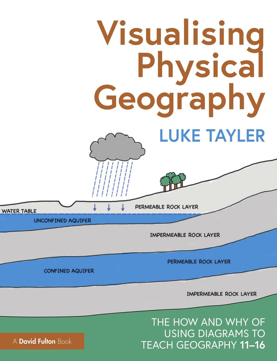
Visualising Physical Geography The How And Why Of Using Diagrams To Teach Geography 1116 1st Edition Luke Tayler

  • SKU: BELL-51236530
Visualising Physical Geography The How And Why Of Using Diagrams To Teach Geography 1116 1st Edition Luke Tayler
$ 31.00 $ 45.00 (-31%)

4.4

72 reviews

Visualising Physical Geography The How And Why Of Using Diagrams To Teach Geography 1116 1st Edition Luke Tayler instant download after payment.

Publisher: Routledge
File Extension: PDF
File size: 69.09 MB
Pages: 296
Author: Luke Tayler
ISBN: 9781003303435, 9781032300948, 9781032301051, 9781000920833, 9781000920918, 1003303439, 1032300949, 1032301058, 1000920836
Language: English
Year: 2023
Edition: 1

Product desciption

Visualising Physical Geography The How And Why Of Using Diagrams To Teach Geography 1116 1st Edition Luke Tayler by Luke Tayler 9781003303435, 9781032300948, 9781032301051, 9781000920833, 9781000920918, 1003303439, 1032300949, 1032301058, 1000920836 instant download after payment.

This practical guide breaks down the complex and broad field of physical geography, demonstrating how diagrams can be used by teachers to effectively explain the key concepts behind many natural processes and landforms. Featuring over 200 diagrams that cover the key topics taught in Key Stage 3 and 4 Geography, the book shows teachers how they can convey age-appropriate concepts without overwhelming or oversimplifying. Supported by summaries of background knowledge, common misconceptions, questions to check understanding, and extension activities, the concepts and topics explored include: • Rocks and weathering • Plate tectonics • Rivers • Coasts • Weather and climate • Ecosystems • Glaciation Backed by research and evidence to support the use of diagrams in the classroom, this is an essential read for any geography teacher or subject lead who wants to support their students in learning key concepts in physical geography.

Related Products