logo

EbookBell.com

Most ebook files are in PDF format, so you can easily read them using various software such as Foxit Reader or directly on the Google Chrome browser.
Some ebook files are released by publishers in other formats such as .awz, .mobi, .epub, .fb2, etc. You may need to install specific software to read these formats on mobile/PC, such as Calibre.

Please read the tutorial at this link:  https://ebookbell.com/faq 


We offer FREE conversion to the popular formats you request; however, this may take some time. Therefore, right after payment, please email us, and we will try to provide the service as quickly as possible.


For some exceptional file formats or broken links (if any), please refrain from opening any disputes. Instead, email us first, and we will try to assist within a maximum of 6 hours.

EbookBell Team
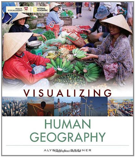
Visualizing Human Geography At Home In A Diverse World Visualizing Series 1st Edition Alyson Greiner

  • SKU: BELL-2336690
Visualizing Human Geography At Home In A Diverse World Visualizing Series 1st Edition Alyson Greiner
$ 31.00 $ 45.00 (-31%)

4.4

52 reviews

Visualizing Human Geography At Home In A Diverse World Visualizing Series 1st Edition Alyson Greiner instant download after payment.

Publisher: Wiley
File Extension: PDF
File size: 405.82 MB
Pages: 466
Author: Alyson Greiner
ISBN: 9780471724919, 0471724912
Language: English
Year: 2010
Edition: 1

Product desciption

Visualizing Human Geography At Home In A Diverse World Visualizing Series 1st Edition Alyson Greiner by Alyson Greiner 9780471724919, 0471724912 instant download after payment.

Visualizing Human Geography is a comprehensive, modern book for today's human geography course. With current examples, thorough coverage of geographers tools and technology, and a visual design that is accessible without sacrificing content, it is a title that will appeal to a broad range of instructors.The narrative and concepts are tightly linked to visual elements, including practical examples that highlight the relevance of the concepts. Maps are integrated throughout to help reveal patterns or trends. Divergent views and critical thinking are emphasized. Photographs and other visuals are also included to reinforce the concepts.

Related Products