logo

EbookBell.com

Most ebook files are in PDF format, so you can easily read them using various software such as Foxit Reader or directly on the Google Chrome browser.
Some ebook files are released by publishers in other formats such as .awz, .mobi, .epub, .fb2, etc. You may need to install specific software to read these formats on mobile/PC, such as Calibre.

Please read the tutorial at this link:  https://ebookbell.com/faq 


We offer FREE conversion to the popular formats you request; however, this may take some time. Therefore, right after payment, please email us, and we will try to provide the service as quickly as possible.


For some exceptional file formats or broken links (if any), please refrain from opening any disputes. Instead, email us first, and we will try to assist within a maximum of 6 hours.

EbookBell Team
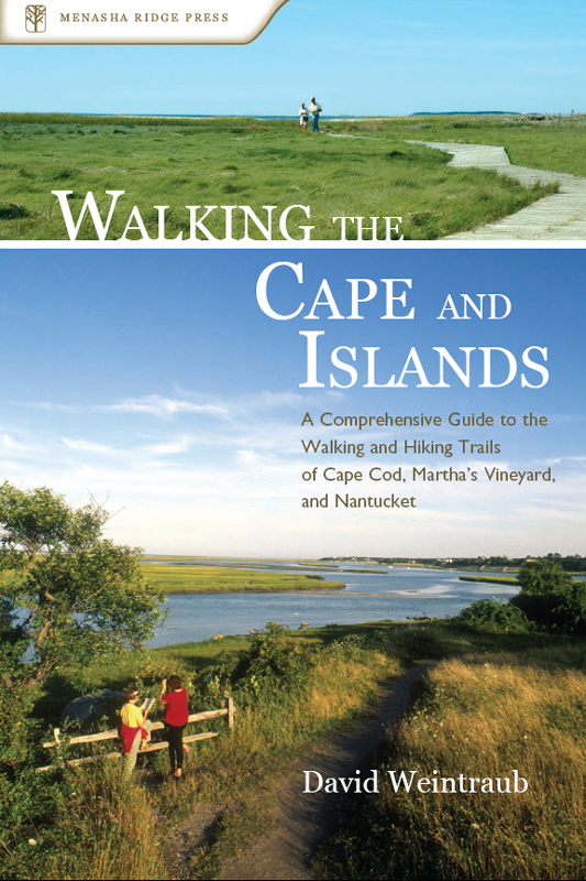
Walking The Cape And Islands David Weintraub

  • SKU: BELL-37636602
Walking The Cape And Islands David Weintraub
$ 31.00 $ 45.00 (-31%)

0.0

0 reviews

Walking The Cape And Islands David Weintraub instant download after payment.

Publisher: Menasha Ridge Press
File Extension: EPUB
File size: 70.77 MB
Author: David Weintraub
ISBN: 9780897326032, 0897326032
Language: English
Year: 2006

Product desciption

Walking The Cape And Islands David Weintraub by David Weintraub 9780897326032, 0897326032 instant download after payment.

The Cape and Islands—Cape Cod, Martha’s Vineyard, and Nantucket—provide some of the best walking and hiking in coastal New England. There is a great variety of terrain and scenery, from the crashing Atlantic Ocean to pristine kettle ponds, from densely wooded tracts to open expanses of salt marsh, and from sandy shorelines to wildflower-carpeted grasslands. Walking the Cape and Islands is the first comprehensive guide to the area’s best walking and hiking trails. In includes: 72 walks ranging in length from 0.4 miles to 11.2 miles and in difficulty from easy to difficult; for each walk, a complete route description, driving directions to the trailhead, and a detailed, easy-to-read map; at-a-glance Info providing essential information such as distance, difficulty, time to walk, trail surface, and more; trail-use data showing whether bicycles, dogs, or hunting are allowed on the described route; and health stats showing the number of steps and estimated...

Related Products