Most ebook files are in PDF format, so you can easily read them using various software such as Foxit Reader or directly on the Google Chrome browser.
Some ebook files are released by publishers in other formats such as .awz, .mobi, .epub, .fb2, etc. You may need to install specific software to read these formats on mobile/PC, such as Calibre.
Please read the tutorial at this link: https://ebookbell.com/faq
We offer FREE conversion to the popular formats you request; however, this may take some time. Therefore, right after payment, please email us, and we will try to provide the service as quickly as possible.
For some exceptional file formats or broken links (if any), please refrain from opening any disputes. Instead, email us first, and we will try to assist within a maximum of 6 hours.
EbookBell Team
0.0
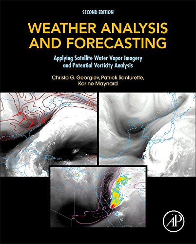
0 reviewsWeather Analysis and Forecasting: Applying Satellite Water Vapor Imagery and Potential Vorticity Analysis, Second Edition, is a step-by-step essential training manual for forecasters in meteorological services worldwide, and a valuable text for graduate students in atmospheric physics and satellite meteorology. In this practical guide, P. Santurette, C.G. Georgiev, and K. Maynard show how to interpret water vapor patterns in terms of dynamical processes in the atmosphere and their relation to diagnostics available from numerical weather prediction models. In particular, they concentrate on the close relationship between satellite imagery and the potential vorticity fields in the upper troposphere and lower stratosphere. These applications are illustrated with color images based on real meteorological situations over mid-latitudes, subtropical and tropical areas.