
Most ebook files are in PDF format, so you can easily read them using various software such as Foxit Reader or directly on the Google Chrome browser.
Some ebook files are released by publishers in other formats such as .awz, .mobi, .epub, .fb2, etc. You may need to install specific software to read these formats on mobile/PC, such as Calibre.
Please read the tutorial at this link: https://ebookbell.com/faq
We offer FREE conversion to the popular formats you request; however, this may take some time. Therefore, right after payment, please email us, and we will try to provide the service as quickly as possible.
For some exceptional file formats or broken links (if any), please refrain from opening any disputes. Instead, email us first, and we will try to assist within a maximum of 6 hours.
EbookBell Team

4.0
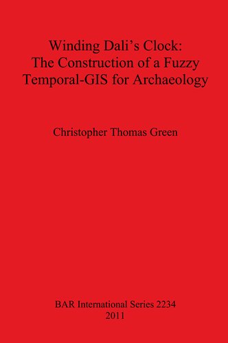
16 reviewsArchaeology is fundamentally concerned with both space and time: dates, chronologies, stratigraphy, plans and maps are all routinely used by archaeologists in their work. To aid in their analysis of this material, the use of Geographic Information Systems (GIS) by archaeologists has become widespread. However, GIS are conventionally ignorant of time. Thus, if archaeologists are to achieve the fullest potential in the application of GIS to their studies, GIS are needed that properly take into account timeas well as space. A GIS capable of dealing with temporal data is referred to as a temporal-GIS (TGIS), and commercial TGIS systems currently exist. However, these are locked into a model of modern clock time. Archaeological time does not sit well within that model, being altogether fuzzier and less precise. Nor are commercial TGIS able to address the questions that archaeologists ask of their spatio-temporal data. Thus, a TGIS is needed that deals with the types of time that we encounter as archaeologists, lest we end up shaping our data and questions to the inherent capabilities of non-archaeological TGIS. The creation of that new TGIS is the subject of this book: a fuzzy TGIS built specifically for the study of archaeological data that also takes into account recent developments in the theory of temporality within the discipline. The new TGIS needs to be flexible and powerful, yet to ensure that it is actually used it must remain within the software horizons of GIS-literate archaeologists. The new TGIS has been applied to two case studies, one in prehistoric Derbyshire and one in Roman Northamptonshire, producing informative and interesting new results. It is hoped that others will fruitfully use the TGIS and that, as a result, new forms of spatio-temporal analysis might come to be applied to archaeological studies.