logo

EbookBell.com

Most ebook files are in PDF format, so you can easily read them using various software such as Foxit Reader or directly on the Google Chrome browser.
Some ebook files are released by publishers in other formats such as .awz, .mobi, .epub, .fb2, etc. You may need to install specific software to read these formats on mobile/PC, such as Calibre.

Please read the tutorial at this link:  https://ebookbell.com/faq 


We offer FREE conversion to the popular formats you request; however, this may take some time. Therefore, right after payment, please email us, and we will try to provide the service as quickly as possible.


For some exceptional file formats or broken links (if any), please refrain from opening any disputes. Instead, email us first, and we will try to assist within a maximum of 6 hours.

EbookBell Team
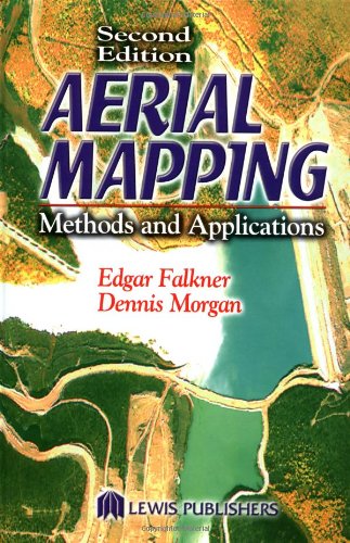
Aerial Mapping Methods And Applications Second Edition Mapping Science 2nd Edition Dennis Morgan

  • SKU: BELL-2100582
Aerial Mapping Methods And Applications Second Edition Mapping Science 2nd Edition Dennis Morgan
$ 31.00 $ 45.00 (-31%)

0.0

0 reviews

Aerial Mapping Methods And Applications Second Edition Mapping Science 2nd Edition Dennis Morgan instant download after payment.

Publisher: CRC Press
File Extension: PDF
File size: 18.88 MB
Pages: 192
Author: Dennis Morgan, Edgar Falkner
ISBN: 1566705576
Language: English
Year: 2001
Edition: 2

Product desciption

Aerial Mapping Methods And Applications Second Edition Mapping Science 2nd Edition Dennis Morgan by Dennis Morgan, Edgar Falkner 1566705576 instant download after payment.

Building on the foundation of the bestselling first edition, Aerial Mapping: Methods and Applications, Second Edition provides you with a practical understanding of aerial photography, remote sensing, and photogrammetric mapping. The content is deliberately semi-technical and processes are discussed in a manner easily accessible to anyone regardless of their technical or scientific background. This new edition highlights the significant changes in equipment and techniques. High-speed computers, scanners, and remote sensors have changed the way mapping is done. The principles of photogrammetry, image analysis, and remote sensing have become dynamically intertwined. With the solid grounding in basic procedures that Aerial Mapping: Methods and Applications, Second Edition provides you can apply your knowledge to the special conditions of each aerial mapping project.

Related Products