Most ebook files are in PDF format, so you can easily read them using various software such as Foxit Reader or directly on the Google Chrome browser.
Some ebook files are released by publishers in other formats such as .awz, .mobi, .epub, .fb2, etc. You may need to install specific software to read these formats on mobile/PC, such as Calibre.
Please read the tutorial at this link: https://ebookbell.com/faq
We offer FREE conversion to the popular formats you request; however, this may take some time. Therefore, right after payment, please email us, and we will try to provide the service as quickly as possible.
For some exceptional file formats or broken links (if any), please refrain from opening any disputes. Instead, email us first, and we will try to assist within a maximum of 6 hours.
EbookBell Team
4.0
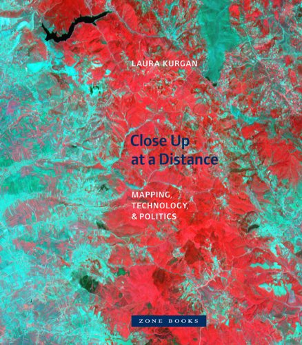
46 reviewsThe maps in this book are drawn with satellites, assembled with pixels radioed from outer space, and constructed from statistics; they record situations of intense conflict and express fundamental transformations in our ways of seeing and of experiencing space. These maps are built with Global Positioning Systems (GPS), remote sensing satellites, or Geographic Information Systems (GIS): digital spatial hardware and software designed for such military and governmental uses as reconnaissance, secrecy, monitoring, ballistics, the census, and national security. Rather than shying away from the politics and complexities of their intended uses, in Close Up at a Distance Laura Kurgan attempts to illuminate them. Poised at the intersection of art, architecture, activism, and geography, her analysis uncovers the implicit biases of the new views, the means of recording information they present, and the new spaces they have opened up.
Her presentation of these maps reclaims, repurposes, and discovers new and even inadvertent uses for them, including documentary, memorial, preservation, interpretation, political, or simply aesthetic. GPS has been available to both civilians and the military since 1991; the World Wide Web democratized the distribution of data in 1992; Google Earth has captured global bird’s-eye views since 2005. Technology has brought about a revolutionary shift in our ability to navigate, inhabit, and define the spatial realm. The traces of interactions, both physical and virtual, charted by the maps in Close Up at a Distance define this shift.