logo

EbookBell.com

Most ebook files are in PDF format, so you can easily read them using various software such as Foxit Reader or directly on the Google Chrome browser.
Some ebook files are released by publishers in other formats such as .awz, .mobi, .epub, .fb2, etc. You may need to install specific software to read these formats on mobile/PC, such as Calibre.

Please read the tutorial at this link:  https://ebookbell.com/faq 


We offer FREE conversion to the popular formats you request; however, this may take some time. Therefore, right after payment, please email us, and we will try to provide the service as quickly as possible.


For some exceptional file formats or broken links (if any), please refrain from opening any disputes. Instead, email us first, and we will try to assist within a maximum of 6 hours.

EbookBell Team
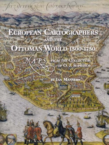
European Cartographers And The Ottoman World 15001750 Maps From The Collection Of Oj Sopranos Oriental Institute Museum Publications 1st Edition Ian Manners

  • SKU: BELL-1759928
European Cartographers And The Ottoman World 15001750 Maps From The Collection Of Oj Sopranos Oriental Institute Museum Publications 1st Edition Ian Manners
$ 31.00 $ 45.00 (-31%)

4.1

70 reviews

European Cartographers And The Ottoman World 15001750 Maps From The Collection Of Oj Sopranos Oriental Institute Museum Publications 1st Edition Ian Manners instant download after payment.

Publisher: Oriental Institute Press
File Extension: PDF
File size: 5.29 MB
Pages: 156
Author: Ian Manners, M. Pinar Emiralioğlu
ISBN: 9781885923530, 1885923538
Language: English
Year: 2007
Edition: 1

Product desciption

European Cartographers And The Ottoman World 15001750 Maps From The Collection Of Oj Sopranos Oriental Institute Museum Publications 1st Edition Ian Manners by Ian Manners, M. Pinar Emiralioğlu 9781885923530, 1885923538 instant download after payment.

This lavishly illustrated catalogue of the exhibit European Cartographers and the Ottoman World, 1500-1750, explores how mapmakers sought to document a new geography of the Near East that reconciled classical ideas and theories with the information collected and brought back by travelers and voyagers. The text is accompanied by images of illuminated manuscript charts and atlases, the earliest printed maps of the Ottoman Empire, and bird's-eye views of cities that provided "arm-chair travelers" with the experience of knowing distant places.

Related Products