
Most ebook files are in PDF format, so you can easily read them using various software such as Foxit Reader or directly on the Google Chrome browser.
Some ebook files are released by publishers in other formats such as .awz, .mobi, .epub, .fb2, etc. You may need to install specific software to read these formats on mobile/PC, such as Calibre.
Please read the tutorial at this link: https://ebookbell.com/faq
We offer FREE conversion to the popular formats you request; however, this may take some time. Therefore, right after payment, please email us, and we will try to provide the service as quickly as possible.
For some exceptional file formats or broken links (if any), please refrain from opening any disputes. Instead, email us first, and we will try to assist within a maximum of 6 hours.
EbookBell Team

4.3
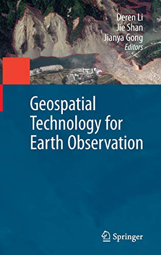
38 reviewsGeospatial Technology for Earth Observation provides an in-depth and broad collection of recent progress in Earth observation. Contributed by leading experts in this field, the book covers satellite, airborne and ground remote sensing systems and system integration, sensor orientation, remote sensing physics, image classification and analysis, information extraction, geospatial service, and various application topics, including cadastral mapping, land use change evaluation, water environment monitoring, flood mapping, and decision making support.
Geospatial Technology for Earth Observation serves as a valuable training source for researchers, developers, and practitioners in geospatial science and technology industry. It is also suitable as a reference book for upper level college students and graduate students in geospatial technology, geosciences, resource management, and informatics.