logo

EbookBell.com

Most ebook files are in PDF format, so you can easily read them using various software such as Foxit Reader or directly on the Google Chrome browser.
Some ebook files are released by publishers in other formats such as .awz, .mobi, .epub, .fb2, etc. You may need to install specific software to read these formats on mobile/PC, such as Calibre.

Please read the tutorial at this link:  https://ebookbell.com/faq 


We offer FREE conversion to the popular formats you request; however, this may take some time. Therefore, right after payment, please email us, and we will try to provide the service as quickly as possible.


For some exceptional file formats or broken links (if any), please refrain from opening any disputes. Instead, email us first, and we will try to assist within a maximum of 6 hours.

EbookBell Team
Ground Penetrating Radar In Sediments C S Bristow C S Bristow

  • SKU: BELL-1186474
Ground Penetrating Radar In Sediments C S Bristow C S Bristow
$ 31.00 $ 45.00 (-31%)

4.7

46 reviews

Ground Penetrating Radar In Sediments C S Bristow C S Bristow instant download after payment.

Publisher: Geological Society
File Extension: PDF
File size: 39.72 MB
Pages: 339
Author: C. S. Bristow, C. S. Bristow, H. M. Jol
ISBN: 9781862391314, 1862391319
Language: English
Year: 2003

Product desciption

Ground Penetrating Radar In Sediments C S Bristow C S Bristow by C. S. Bristow, C. S. Bristow, H. M. Jol 9781862391314, 1862391319 instant download after payment.

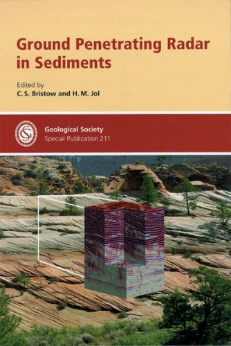
Ground penetrating radar (GPR) is transforming the way earth scientists and engineers describe and interpret near-surface sedimentary environments in the field. Because of recent advances in equipment, GPR now provides continuous, high-resolution data that other geophysical investigative tools cannot achieve. GPR has proven useful in a wide array of environmental, geological, and engineering applications. Included in this book are practical guidelines for data collection and interpretation, from antennae configurations to sequence stratigraphy, together with new advances such as vertical radar profiles and 3-D GPR imaging for hydrocarbon reservoir modeling, designed to assist new and veteran users to get the most from GPR. Case studies in this book detail GPR investigations in a wide array of sedimentary environments including alluvial fans, braided rivers, spits, beaches, sand dunes, lakes, bogs, and floodplains. Examples of GPR investigation applied to stratigraphic correlation problems in Holocene, Pleistocene, and ancient sediments; hydrocarbon reservoir modeling; and detection and mapping of contaminants, reservoir infilling, land mines, and fault displacements are included.

Also available:

Mapping Hazardous Terrain using Remote Sensing - Special Publication no 283 - ISBN 1862392293 3D Seismic Technology: Application to the Exploration of Sedimentary Basins - ISBN 1862391513

The Geological Society of London

Founded in 1807, the Geological Society of London is the oldest geological society in the world, and one of the largest publishers in the Earth sciences.

The Society publishes a wide range of high-quality peer-reviewed titles for academics and professionals working in the geosciences, and enjoys an enviable international reputation for the quality of its work.

The many areas in which we publish in include:

-Petroleum geology -Tectonics, structural geology and geodynamics -Stratigraphy, sedimentology and paleontology -Volcanology, magmatic studies and geochemistry -Remote sensing -History of geology -Regional geology guides

Related Products