logo

EbookBell.com

Most ebook files are in PDF format, so you can easily read them using various software such as Foxit Reader or directly on the Google Chrome browser.
Some ebook files are released by publishers in other formats such as .awz, .mobi, .epub, .fb2, etc. You may need to install specific software to read these formats on mobile/PC, such as Calibre.

Please read the tutorial at this link:  https://ebookbell.com/faq 


We offer FREE conversion to the popular formats you request; however, this may take some time. Therefore, right after payment, please email us, and we will try to provide the service as quickly as possible.


For some exceptional file formats or broken links (if any), please refrain from opening any disputes. Instead, email us first, and we will try to assist within a maximum of 6 hours.

EbookBell Team
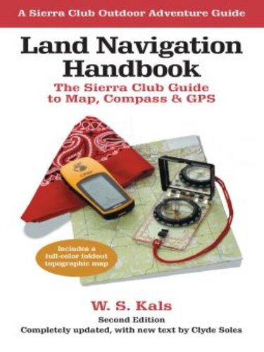
Land Navigation Handbook The Sierra Club Guide To Map Compass And Gps W S Kals

  • SKU: BELL-46882988
Land Navigation Handbook The Sierra Club Guide To Map Compass And Gps W S Kals
$ 31.00 $ 45.00 (-31%)

4.1

100 reviews

Land Navigation Handbook The Sierra Club Guide To Map Compass And Gps W S Kals instant download after payment.

Publisher: Counterpoint
File Extension: EPUB
File size: 2.23 MB
Author: W. S. Kals
ISBN: 9781578051878, 1578051878
Language: English
Year: 2010

Product desciption

Land Navigation Handbook The Sierra Club Guide To Map Compass And Gps W S Kals by W. S. Kals 9781578051878, 1578051878 instant download after payment.

Sooner or later any outdoor enthusiast will need more than trail markers for guidance. This best-selling manual - now thoroughly revised and updated - is designed for anyone who wants to chart a course in the wilderness: hiker, backpacker, snowshoer, skier, fisherman, or hunter. Step by step, it teaches the skills that enable you to answer the vital questions: Where am I now? Which way do I head to reach my destination? How far is it? And how long will it take me to get there?
Starting with the basics of interpreting maps and orienting by compass, the proceeds clearly through the more advanced mysteries of land navigation: measuring distances and estimating travel times; determining and adjusting for local declination around the globe; using an altimeter to add the dimension of height to one's position; and navigation by means of sun and stars. In updating the late W. S. Kal's text, coauthor Clyde Soles focuses on the latest developments in technology and equipment. Readers learn, for example, that through digital mapping software, one can order the exact area desired, at any scale, and print it on waterproof paper. Soles also surveys the popular handheld GPS units and instructs in their use, and provides an overview of marine navigation for the growing sport of sea kayaking. Visuals include a full-color foldout topographic map for reference and practice, plus dozens of helpful drawings and photographs.
Though much has changed, one thing certainly hasn't: The new edition of Land Navigation Handbook retains the solid information, spirit, and lively humor that made it a classic among outdoorspeople everywhere.

Related Products