logo

EbookBell.com

Most ebook files are in PDF format, so you can easily read them using various software such as Foxit Reader or directly on the Google Chrome browser.
Some ebook files are released by publishers in other formats such as .awz, .mobi, .epub, .fb2, etc. You may need to install specific software to read these formats on mobile/PC, such as Calibre.

Please read the tutorial at this link:  https://ebookbell.com/faq 


We offer FREE conversion to the popular formats you request; however, this may take some time. Therefore, right after payment, please email us, and we will try to provide the service as quickly as possible.


For some exceptional file formats or broken links (if any), please refrain from opening any disputes. Instead, email us first, and we will try to assist within a maximum of 6 hours.

EbookBell Team
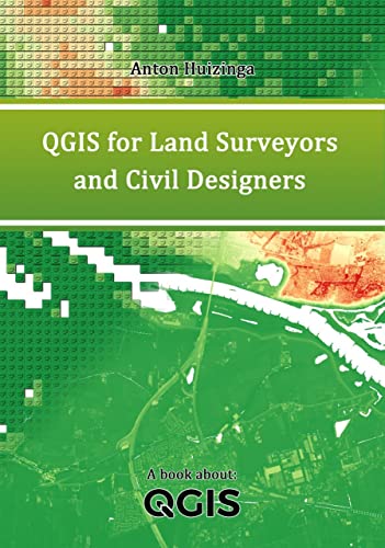
Qgis For Land Surveyors And Civil Designers Anton Huizinga

  • SKU: BELL-46856632
Qgis For Land Surveyors And Civil Designers Anton Huizinga
$ 31.00 $ 45.00 (-31%)

4.8

24 reviews

Qgis For Land Surveyors And Civil Designers Anton Huizinga instant download after payment.

Publisher: Independently published
File Extension: MOBI
File size: 23.87 MB
Pages: 243
Author: Anton Huizinga
Language: English
Year: 2022

Product desciption

Qgis For Land Surveyors And Civil Designers Anton Huizinga by Anton Huizinga instant download after payment.

Not everyone is a skilled data analyst. Yet sometimes you want to be able to present certain geo-data. Or during your work you find out that it can be quite useful to know something about GIS.

This book will get you started in understanding and visualizing geo-data. How to enrich and manipulate it. For example, merging tables based on matching data. Or combining objects with overlapping locations. Generating buffers and filtering objects. Reading data sources using an online or offline method. You will learn about concepts such as WFS, WMTS and ATOM. You will search for available sources around the world.

Working with raster data or vector data is no problem in QGIS. As is projecting to the various coordinate systems. Data tables without geometry and with geometry can be combined perfectly. You learn to execute queries and expressions on the data. You will create layouts with a legend, north arrow and crosshairs. With help of clear examples you will explore the possibilities of QGIS. There are no simple methods, but there are countless functions and possibilities that can be applied to any project. Sometimes in a different order, sometimes with a different purpose.

You'll find out how far your creativity goes. And you'll love it!

Related Products

Qgis Blueprints Ben Mearns

4.7

106 reviews
$45.00 $31.00