Most ebook files are in PDF format, so you can easily read them using various software such as Foxit Reader or directly on the Google Chrome browser.
Some ebook files are released by publishers in other formats such as .awz, .mobi, .epub, .fb2, etc. You may need to install specific software to read these formats on mobile/PC, such as Calibre.
Please read the tutorial at this link: https://ebookbell.com/faq
We offer FREE conversion to the popular formats you request; however, this may take some time. Therefore, right after payment, please email us, and we will try to provide the service as quickly as possible.
For some exceptional file formats or broken links (if any), please refrain from opening any disputes. Instead, email us first, and we will try to assist within a maximum of 6 hours.
EbookBell Team
4.4
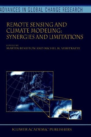
92 reviews1 2 Michel M. VERSTRAETE and Martin BENISTON 1 Space Applications Institute, EC Joint Research Centre, Ispra, Italy 2 Department of Geography, University of Fribourg, Switzerland This volume contains the proceedings ofthe workshop entitled “Satellite Remote Sensing and Climate Simulations: Synergies and Limitations” that took place in Les Diablerets, Switzerland, September 20–24, 1999. This international scientific conference aimed at addressing the current and pot- tial role of satellite remote sensing in climate modeling, with a particular focus on land surface processes and atmospheric aerosol characterization. Global and regional circulation models incorporate our knowledge ofthe dynamics ofthe Earth's atmosphere. They are used to predict the evolution of the weather and climate. Mathematically, this system is represented by a set ofpartial differential equations whose solution requires initial and bo- dary conditions. Limitations in the accuracy and geographical distribution of these constraints, and intrinsic mathematical sensitivity to these conditions do not allow the identification of a unique solution (prediction). Additional observations on the climate system are thus used to constrain the forecasts of the mathematical model to remain close to the observed state ofthe system.