logo

EbookBell.com

Most ebook files are in PDF format, so you can easily read them using various software such as Foxit Reader or directly on the Google Chrome browser.
Some ebook files are released by publishers in other formats such as .awz, .mobi, .epub, .fb2, etc. You may need to install specific software to read these formats on mobile/PC, such as Calibre.

Please read the tutorial at this link:  https://ebookbell.com/faq 


We offer FREE conversion to the popular formats you request; however, this may take some time. Therefore, right after payment, please email us, and we will try to provide the service as quickly as possible.


For some exceptional file formats or broken links (if any), please refrain from opening any disputes. Instead, email us first, and we will try to assist within a maximum of 6 hours.

EbookBell Team
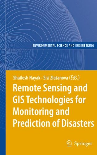
Remote Sensing And Gis Technologies For Monitoring And Prediction Of Disasters 1st Edition Shailesh Nayak

  • SKU: BELL-1133612
Remote Sensing And Gis Technologies For Monitoring And Prediction Of Disasters 1st Edition Shailesh Nayak
$ 31.00 $ 45.00 (-31%)

4.8

14 reviews

Remote Sensing And Gis Technologies For Monitoring And Prediction Of Disasters 1st Edition Shailesh Nayak instant download after payment.

Publisher: Springer
File Extension: PDF
File size: 17.5 MB
Pages: 268
Author: Shailesh Nayak, Sisi Zlatanova
ISBN: 9783642098154, 3642098150
Language: English
Year: 2008
Edition: 1st Edition.

Product desciption

Remote Sensing And Gis Technologies For Monitoring And Prediction Of Disasters 1st Edition Shailesh Nayak by Shailesh Nayak, Sisi Zlatanova 9783642098154, 3642098150 instant download after payment.

Lessons learned in the last several years have given clear indications that the prediction and efficient monitoring of disasters is one of the critical factors in decision-making process. In this respect space-based technologies have the great potential of supplying information in near real time. Earth observation satellites have already demonstrated their flexibility in providing data to a wide range of applications: weather forecasting, person and vehicle tracking, alerting to disaster, forest fire and flood monitoring, oil splits, spread of desertification, monitoring of crop and forestry damages.This book focuses on a wider utilisation of remote sensing in disaster management. The discussed aspects comprise data access/delivery to the users, information extraction and analysis, management of data and its integration with other data sources (airborne and terrestrial imagery, GIS data, etc.), data standardization, organisational and legal aspects of sharing remote sensing information.

Related Products