
Most ebook files are in PDF format, so you can easily read them using various software such as Foxit Reader or directly on the Google Chrome browser.
Some ebook files are released by publishers in other formats such as .awz, .mobi, .epub, .fb2, etc. You may need to install specific software to read these formats on mobile/PC, such as Calibre.
Please read the tutorial at this link: https://ebookbell.com/faq
We offer FREE conversion to the popular formats you request; however, this may take some time. Therefore, right after payment, please email us, and we will try to provide the service as quickly as possible.
For some exceptional file formats or broken links (if any), please refrain from opening any disputes. Instead, email us first, and we will try to assist within a maximum of 6 hours.
EbookBell Team

4.3
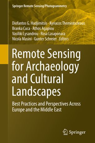
38 reviewsThis book investigates the added value that satellite technologies and remote sensing could provide for a more sustainable mapping, monitoring and management of heritage sites, be it for purposes of regular maintenance or for risk mitigation in case of natural or man-caused hazards. One of the major goals of this book is to provide a clear overview on policy perspectives, regarding both space policy as well as heritage policy, and to provide possible suggestions for common ground of these two fields, in Europe and around the world.
Readers will develop a good understanding of cutting-edge applications of remote sensing and geographic information science, and the challenges that affect heritage maintenance and protection. Particular attention is given to Earth observation and remote sensing techniques applied in different locations. This book brings together innovative technologies, concrete applications and policy perspectives that can lead to a more complete vision of cultural heritage as a resource for future development of our society as a whole.