logo

EbookBell.com

Most ebook files are in PDF format, so you can easily read them using various software such as Foxit Reader or directly on the Google Chrome browser.
Some ebook files are released by publishers in other formats such as .awz, .mobi, .epub, .fb2, etc. You may need to install specific software to read these formats on mobile/PC, such as Calibre.

Please read the tutorial at this link:  https://ebookbell.com/faq 


We offer FREE conversion to the popular formats you request; however, this may take some time. Therefore, right after payment, please email us, and we will try to provide the service as quickly as possible.


For some exceptional file formats or broken links (if any), please refrain from opening any disputes. Instead, email us first, and we will try to assist within a maximum of 6 hours.

EbookBell Team
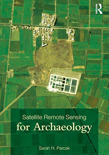
Satellite Remote Sensing For Archaeology 1st Edition Sarah H Parcak

  • SKU: BELL-34796558
Satellite Remote Sensing For Archaeology 1st Edition Sarah H Parcak
$ 31.00 $ 45.00 (-31%)

5.0

90 reviews

Satellite Remote Sensing For Archaeology 1st Edition Sarah H Parcak instant download after payment.

Publisher: Routledge
File Extension: PDF
File size: 10.33 MB
Pages: 320
Author: Sarah H. Parcak
ISBN: 9780203881460, 9780415448772, 9780415448789, 020388146X, 0415448778, 0415448786
Language: English
Year: 2009
Edition: 1

Product desciption

Satellite Remote Sensing For Archaeology 1st Edition Sarah H Parcak by Sarah H. Parcak 9780203881460, 9780415448772, 9780415448789, 020388146X, 0415448778, 0415448786 instant download after payment.

This handbook is the first comprehensive overview of the field of satellite remote sensing for archaeology and how it can be applied to ongoing archaeological fieldwork projects across the globe. It provides a survey of the history and development of the field, connecting satellite remote sensing in archaeology to broader developments in remote sensing, archaeological method and theory, cultural resource management, and environmental studies. With a focus on practical uses of satellite remote sensing, Sarah H. Parcak evaluates satellite imagery types and remote sensing analysis techniques specific to the discovery, preservation, and management of archaeological sites. Case studies from Asia, Central America, and the Middle East are explored, including Xi'an, China; Angkor Wat, Cambodia and Egypt's floodplains. In-field surveying techniques particular to satellite remote sensing are emphasized, providing strategies for recording ancient features on the ground observed from space. The book also discusses broader issues relating to archaeological remote sensing ethics, looting prevention, and archaeological site preservation. New sensing research is included and illustrated with the inclusion of over 160 satellite images of ancient sites. With a companion website (www.routledge.com/textbooks/9780415448789) with further resources and colour images, Satellite Remote Sensing for Archaeology will provide anyone interested in scientific applications to uncovering past archaeological landscapes a foundation for future research and study.

Related Products