logo

EbookBell.com

Most ebook files are in PDF format, so you can easily read them using various software such as Foxit Reader or directly on the Google Chrome browser.
Some ebook files are released by publishers in other formats such as .awz, .mobi, .epub, .fb2, etc. You may need to install specific software to read these formats on mobile/PC, such as Calibre.

Please read the tutorial at this link:  https://ebookbell.com/faq 


We offer FREE conversion to the popular formats you request; however, this may take some time. Therefore, right after payment, please email us, and we will try to provide the service as quickly as possible.


For some exceptional file formats or broken links (if any), please refrain from opening any disputes. Instead, email us first, and we will try to assist within a maximum of 6 hours.

EbookBell Team
Remote Sensing For Geologists A Guide To Image Interpretation 2ed Prost Gl

  • SKU: BELL-2046918
Remote Sensing For Geologists A Guide To Image Interpretation 2ed Prost Gl
$ 31.00 $ 45.00 (-31%)

5.0

70 reviews

Remote Sensing For Geologists A Guide To Image Interpretation 2ed Prost Gl instant download after payment.

Publisher: Gordon and Breach
File Extension: CHM
File size: 13.62 MB
Author: Prost G.L.
ISBN: 9789057026294, 9057026295
Language: English
Year: 2001
Edition: 2ed

Product desciption

Remote Sensing For Geologists A Guide To Image Interpretation 2ed Prost Gl by Prost G.l. 9789057026294, 9057026295 instant download after payment.

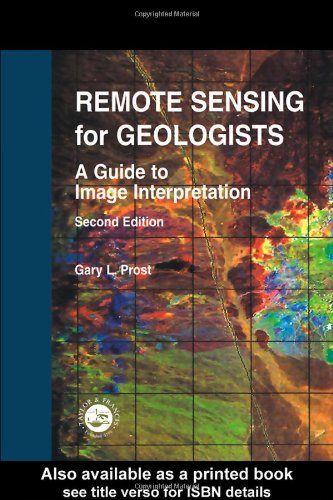
A guide to image interpretation, this book contains detailed color plates and tables that compare satellite imaging systems, list remote sensing web sites, and detail photointerpretation equipment. It includes case histories of the search for petroleum and mineral deposits and examines engineering uses of remote sensing. The volume comprises four sections: project initiation; exploration techniques; exploitation and engineering remote sensing; and environmental concerns. They combine to provide readers with a solid foundation of what image interpretation is and enables them to recognize features of interest and effectively use imagery in projects for the petroleum, mining, or groundwater industries.

Related Products