Most ebook files are in PDF format, so you can easily read them using various software such as Foxit Reader or directly on the Google Chrome browser.
Some ebook files are released by publishers in other formats such as .awz, .mobi, .epub, .fb2, etc. You may need to install specific software to read these formats on mobile/PC, such as Calibre.
Please read the tutorial at this link: https://ebookbell.com/faq
We offer FREE conversion to the popular formats you request; however, this may take some time. Therefore, right after payment, please email us, and we will try to provide the service as quickly as possible.
For some exceptional file formats or broken links (if any), please refrain from opening any disputes. Instead, email us first, and we will try to assist within a maximum of 6 hours.
EbookBell Team
0.0
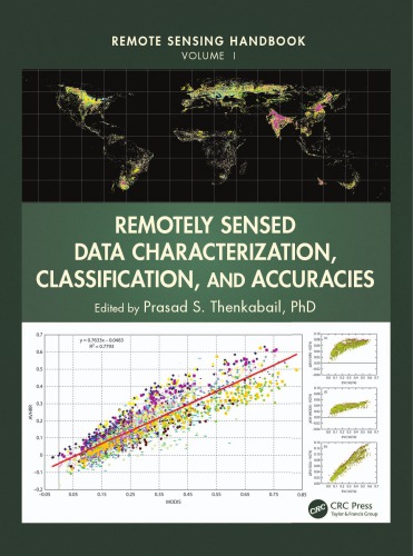
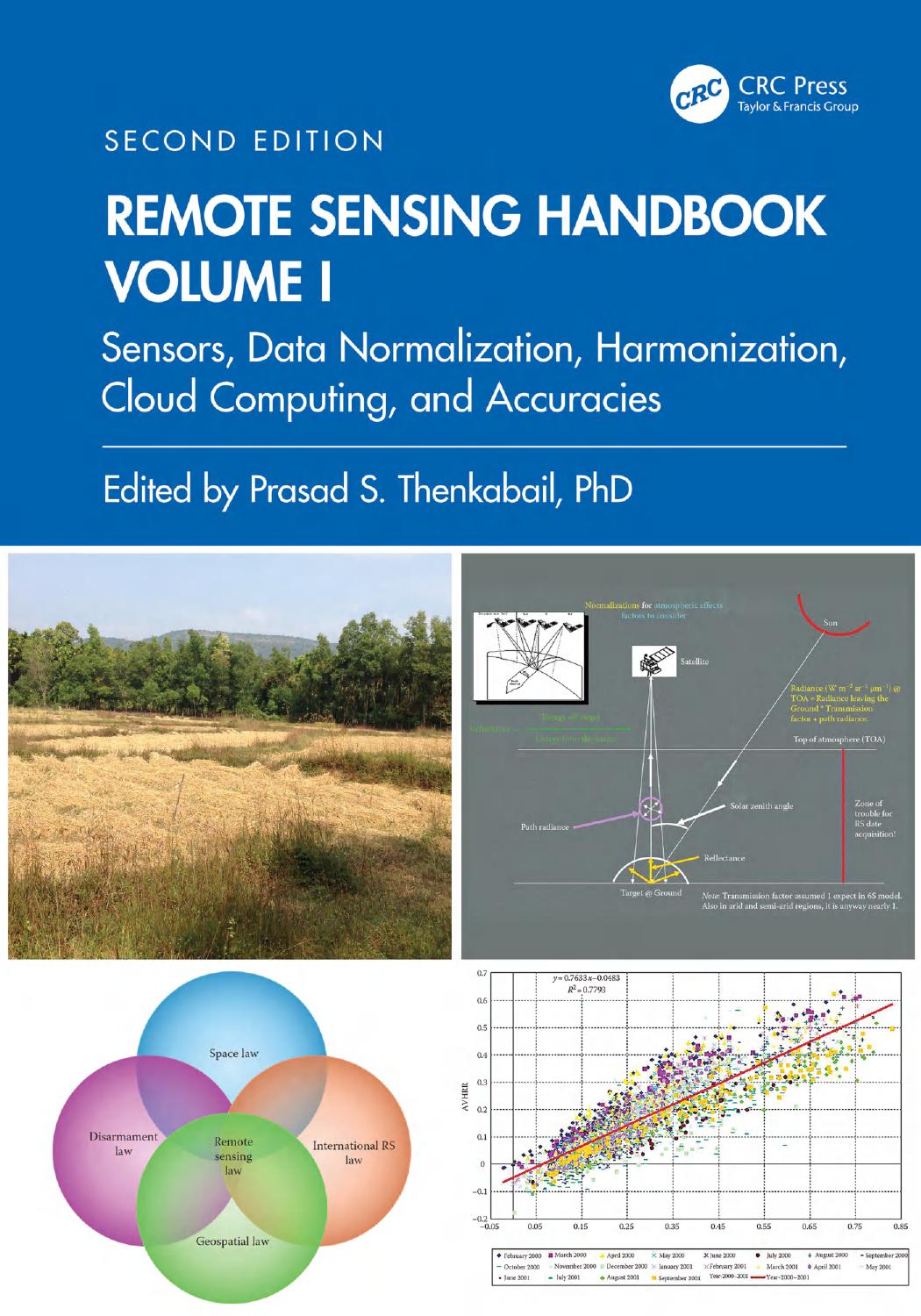
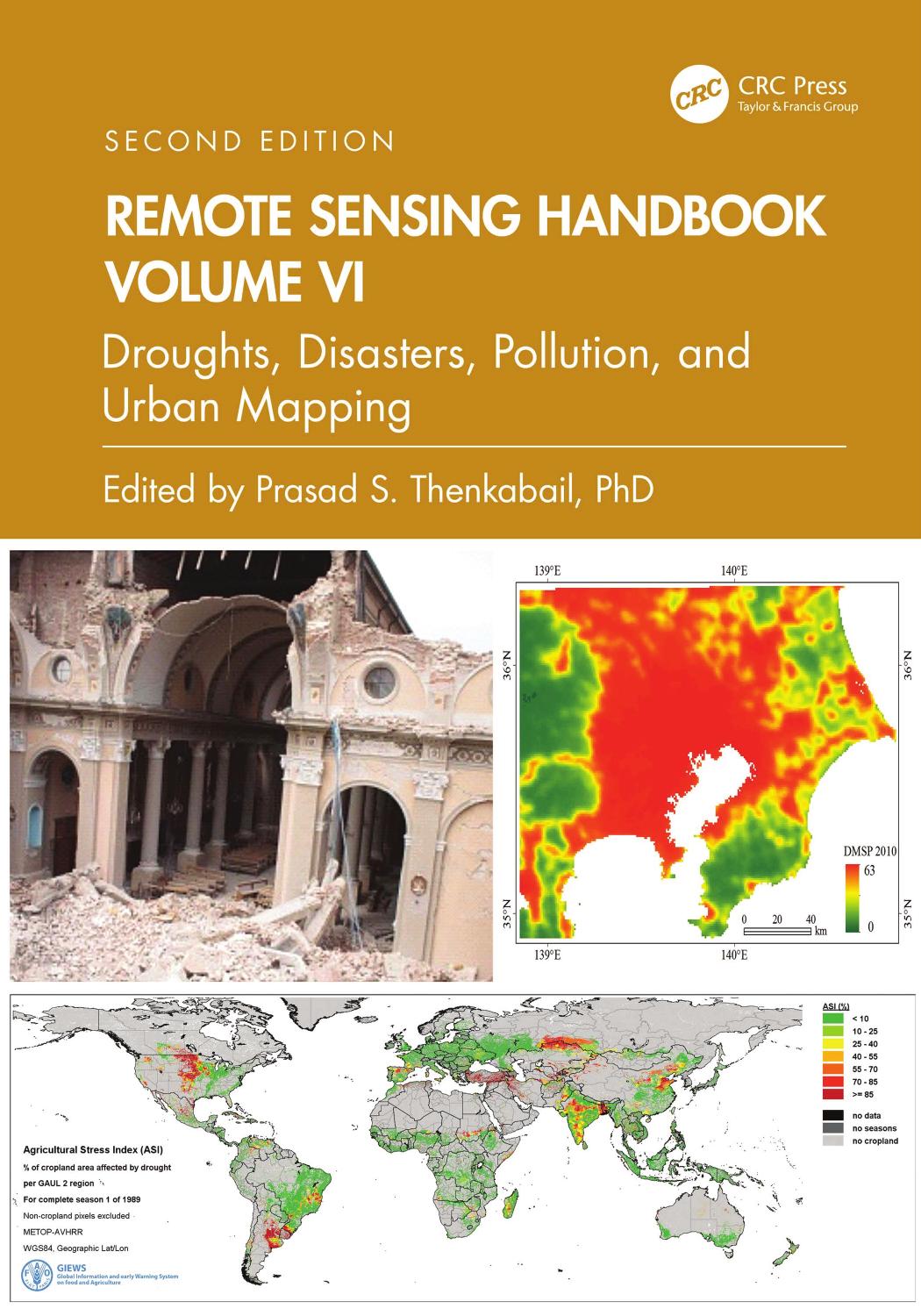
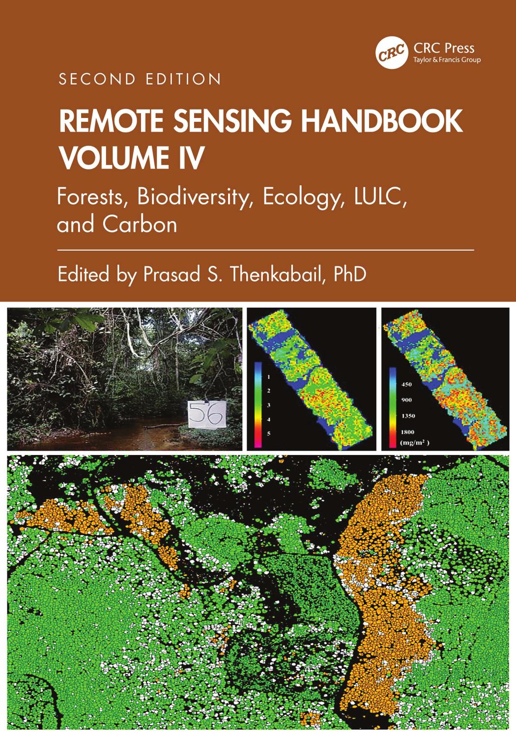
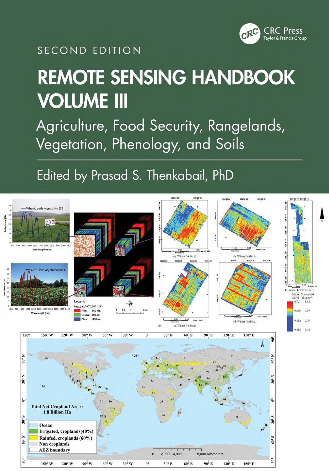
0 reviewsA volume in the three-volume Remote Sensing Handbook series, Land Resources Monitoring, Modeling, and Mapping with Remote Sensing documents the scientific and methodological advances that have taken place during the last 50 years. The other two volumes in the series are Remotely Sensed Data Characterization, Classification, and Accuracies, and Remote Sensing of Water Resources, Disasters, and Urban Studies.
In true handbook style, the chapters in the volume have been carefully selected, organized, and designed to be self-contained so that you can focus on a chapter and read it through without having to be overly dependent on other chapters. This volume provides comprehensive theoretical and practical coverage of remote sensing of land resources that include vegetation and biomass, agricultural croplands, rangelands, phenology and food security, forests, biodiversity, ecology, land use\land cover, carbon, and soils.
Highlights include:
In a very practical way, the book demonstrates the experience, utility, methods, and models used in studying a wide array of land applications. Considered magnum opus on the subject, the three-volume Remote Sensing Handbook is edited by Dr. Prasad S. Thenkabail, a renowned international expert in remote sensing science, GIScience, and spatial sciences, with contributions from some of the very best leading global experts, the handbook gives you a knowledge base on the evolution remote sensing science, state-of-the-art technology, and a future vision for the field.