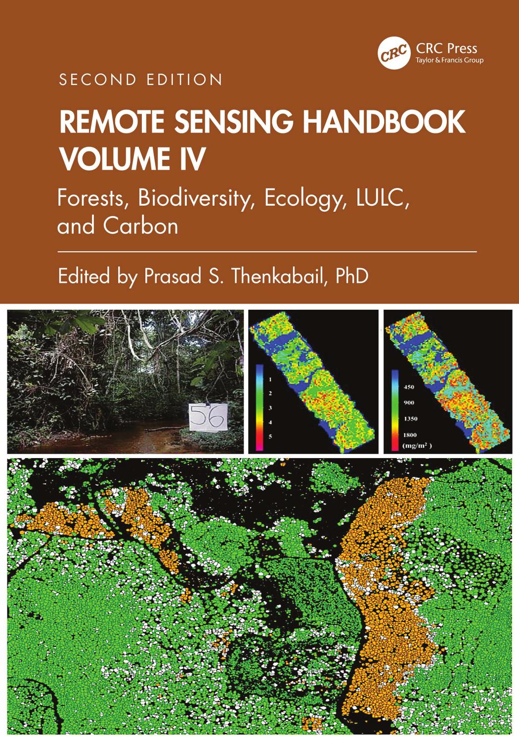
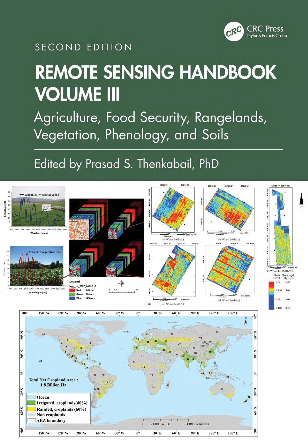
Product desciption
Remote Sensing Handbook Volume Vi Droughts Disasters Pollution And Urban Mapping Second Edition 2nd Prasad S Thenkabail by Prasad S. Thenkabail 9781003541417, 9781032891484, 1032891483, 1003541410 instant download after payment.
Volume VI of the Six Volume Remote Sensing Handbook, Second Edition, is focused on the use of remote sensing in the assessment and monitoring of droughts, dry lands, biomass burning, disasters such as volcanoes and fires, and urban studies and nightlights. It discusses land degradation assessment and monitoring, greenhouse gas (GHG) emissions, and pollution from nightlights in megacities. Chapters include remote sensing of agricultural droughts, including US drought monitoring, dryland studies, coal fires, biomass burning and GHG emissions, volcanoes, humanitarian disasters, smart cities, and night lights mapping. This thoroughly revised and updated volume draws on the expertise of a diverse array of leading international authorities in remote sensing and provides an essential resource for researchers at all levels interested in using remote sensing. It integrates discussions of remote sensing principles, data, methods, development, applications, and scientific and social context.
FeaturesProvides the most up-to-date comprehensive coverage of remote sensing science for droughts, disasters, and GHG emissions. Discusses and analyzes data from old and new generations of sensors. Highlights remote sensing of agricultural droughts, humanitarian and natural disasters, and GHG emissions from coal and stubble burning. Includes numerous case studies on advances and applications at local, regional, and global scales. Introduces advanced methods in remote sensing, such as machine learning, cloud computing, and AI. Highlights scientific achievements over the last decade and provides guidance for future developments.
This volume is an excellent resource for the entire remote sensing and GIS community. Academics, researchers, undergraduate and graduate students, as well as practitioners, decision makers, and policymakers, will benefit from the expertise of the professionals featured in this book and their extensive knowledge of new and emerging trends.