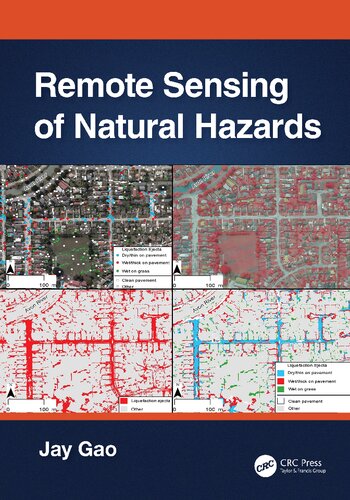
Product desciption
Remote Sensing Of Glaciers Techniques For Topographic Spatial And Thematic Mapping Of Glaciers 1st Edition Petri Pellikka by Petri Pellikka, W. Gareth Rees 0415401666 instant download after payment.
Glaciers and ice sheets have been melting significantly during recent decades, posing environmental threats at local, regional and global scales. Changes in glaciers are one of the clearest indicators of alterations in regional climate, since they are governed by changes in accumulation (from snowfall) and ablation (by melting of ice). Glacier changes have been measured for the last century by traditional field measurements, resulting in long time series for a few glaciers. Remote sensing data and methods, and geographic information systems, provide the means to allow glacier changes to be monitored at a global scale, to be analysed rapidly and to store the results and present information to both scientific and popular audiences in a way which was not possible before the digital revolution. Remote sensing of glaciers began with terrestrial and aerial photography during the middle of the 20th century, but today the discipline embraces a large variety of data types from laser scanner data to very high resolution satellite imagery, which can be applied to the mapping of glacier changes in terms of area, surface zonation or thickness. This book highlights the history of the remote sensing of glaciers, the physics of glaciers and remote sensing of them, and focuses particularly on modern data and methods used by remote sensing specialists and glaciologists. The book presents examples of glacier research carried out, for example in the Alps, Norway, Iceland, Caucasus, Patagonia, Rocky Mountains, Pakistan, Antarctica, New Zealand, and Svalbard.This book is of interest to specialists and students working in the field of remote sensing, glaciology, physical geography, geology and climate change.