logo

EbookBell.com

Most ebook files are in PDF format, so you can easily read them using various software such as Foxit Reader or directly on the Google Chrome browser.
Some ebook files are released by publishers in other formats such as .awz, .mobi, .epub, .fb2, etc. You may need to install specific software to read these formats on mobile/PC, such as Calibre.

Please read the tutorial at this link:  https://ebookbell.com/faq 


We offer FREE conversion to the popular formats you request; however, this may take some time. Therefore, right after payment, please email us, and we will try to provide the service as quickly as possible.


For some exceptional file formats or broken links (if any), please refrain from opening any disputes. Instead, email us first, and we will try to assist within a maximum of 6 hours.

EbookBell Team
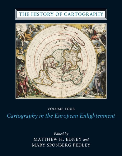
The History Of Cartography Volume 4 Cartography In The European Enlightenment Matthew H Edney

  • SKU: BELL-38040812
The History Of Cartography Volume 4 Cartography In The European Enlightenment Matthew H Edney
$ 31.00 $ 45.00 (-31%)

4.8

14 reviews

The History Of Cartography Volume 4 Cartography In The European Enlightenment Matthew H Edney instant download after payment.

Publisher: University of Chicago Press
File Extension: PDF
File size: 768.39 MB
Pages: 1920
Author: Matthew H. Edney, Mary Sponberg Pedley
ISBN: 9780226184753, 0226184757
Language: English
Year: 2020
Volume: 4

Product desciption

The History Of Cartography Volume 4 Cartography In The European Enlightenment Matthew H Edney by Matthew H. Edney, Mary Sponberg Pedley 9780226184753, 0226184757 instant download after payment.

Since its launch in 1987, the History of Cartography series has garnered critical acclaim and sparked a new generation of interdisciplinary scholarship. Cartography in the European Enlightenment, the highly anticipated fourth volume, offers a comprehensive overview of the cartographic practices of Europeans, Russians, and the Ottomans, both at home and in overseas territories, from 1650 to 1800. The social and intellectual changes that swept Enlightenment Europe also transformed many of its mapmaking practices. A new emphasis on geometric principles gave rise to improved tools for measuring and mapping the world, even as large-scale cartographic projects became possible under the aegis of powerful states. Yet older mapping practices persisted: Enlightenment cartography encompassed a wide variety of processes for making, circulating, and using maps of different types. The volume's more than four hundred encyclopedic articles explore the era's mapping, covering topics both detailed--such as geodetic surveying, thematic mapping, and map collecting--and broad, such as women and cartography, cartography and the economy, and the art and design of maps. Copious bibliographical references and nearly one thousand full-color illustrations complement the detailed entries.

Related Products