
Most ebook files are in PDF format, so you can easily read them using various software such as Foxit Reader or directly on the Google Chrome browser.
Some ebook files are released by publishers in other formats such as .awz, .mobi, .epub, .fb2, etc. You may need to install specific software to read these formats on mobile/PC, such as Calibre.
Please read the tutorial at this link: https://ebookbell.com/faq
We offer FREE conversion to the popular formats you request; however, this may take some time. Therefore, right after payment, please email us, and we will try to provide the service as quickly as possible.
For some exceptional file formats or broken links (if any), please refrain from opening any disputes. Instead, email us first, and we will try to assist within a maximum of 6 hours.
EbookBell Team

4.3
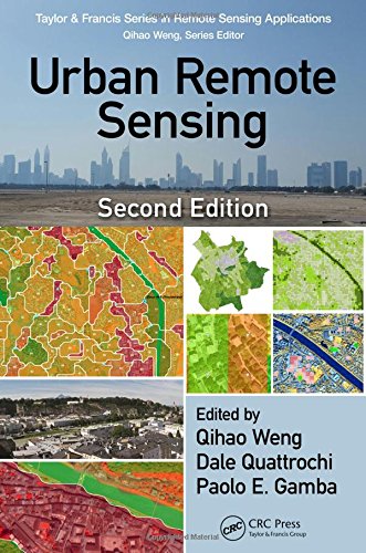
88 reviewsUrban Remote Sensing, Second Edition assembles a team of professional experts to provide a much-needed update on the applications of remote sensing technology to urban and suburban areas. This book reflects new developments in spaceborne and airborne sensors, image processing methods and techniques, and wider applications of urban remote sensing to meet societal and economic challenges. In various sections of the book the authors address methods for upscaling urban feature extraction to the global scale, new methods in mapping and detecting urban landscape features and structures, and mapping and monitoring urbanization in developing countries. Additionally, readers are provided with valuable case studies such as the HEAT (Heat Energy Assessment Technologies) project in Calgary, Canada and the use of VHR (very high resolution) satellite monitoring in Salzburg, Austria to tackle challenges of urban green planning.
Features: