logo

EbookBell.com

Most ebook files are in PDF format, so you can easily read them using various software such as Foxit Reader or directly on the Google Chrome browser.
Some ebook files are released by publishers in other formats such as .awz, .mobi, .epub, .fb2, etc. You may need to install specific software to read these formats on mobile/PC, such as Calibre.

Please read the tutorial at this link:  https://ebookbell.com/faq 


We offer FREE conversion to the popular formats you request; however, this may take some time. Therefore, right after payment, please email us, and we will try to provide the service as quickly as possible.


For some exceptional file formats or broken links (if any), please refrain from opening any disputes. Instead, email us first, and we will try to assist within a maximum of 6 hours.

EbookBell Team
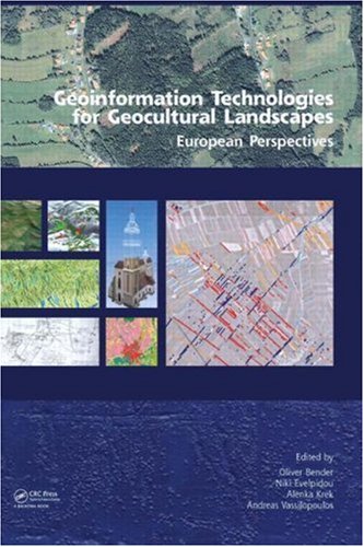
Geoinformation Technologies For Geocultural Landscapes European Perspectives 1st Edition Oliver Bender

  • SKU: BELL-2506084
Geoinformation Technologies For Geocultural Landscapes European Perspectives 1st Edition Oliver Bender
$ 31.00 $ 45.00 (-31%)

4.0

46 reviews

Geoinformation Technologies For Geocultural Landscapes European Perspectives 1st Edition Oliver Bender instant download after payment.

Publisher: CRC Press
File Extension: PDF
File size: 8.11 MB
Pages: 310
Author: Oliver Bender, Niki Evelpidou, Alenka Krek, Andreas Vassilopoulos
ISBN: 9780415468596, 0415468590
Language: English
Year: 2009
Edition: 1

Product desciption

Geoinformation Technologies For Geocultural Landscapes European Perspectives 1st Edition Oliver Bender by Oliver Bender, Niki Evelpidou, Alenka Krek, Andreas Vassilopoulos 9780415468596, 0415468590 instant download after payment.

The focal main objective of the book is to constitute a meaningful linkage among research problems, geoinformation methods and corresponding applications. The research goals, related both to theoretical and practical issues, derive from multidisciplinary fields such as archaeology, history, geography, landscape planning, environment, geoinformation science, geology and geomorphology. All the aforementioned scientific areas have the spatial dimension in common, i.e. the vast amount of spatially referenced data. Their research issues can be addressed and analysed with geoinformation technology; though, the researchers should get familiar to the range of available geoinformation methods. The book provides description of a variety of research problems issues and technological ‘solutions’approaches that can be used to support processes of data capturing, mapping and analysis. These techniques and concepts are illustrated on numerous practical examples. along with specific examples, where these have been applied. The current structure of the book includes the following four chapters: introduction, data capturing and mapping, analysis and modelling, and study cases. In the following we provide a more detailed content of each chapter listing the main topics included within the selected articles.

Related Products