
Most ebook files are in PDF format, so you can easily read them using various software such as Foxit Reader or directly on the Google Chrome browser.
Some ebook files are released by publishers in other formats such as .awz, .mobi, .epub, .fb2, etc. You may need to install specific software to read these formats on mobile/PC, such as Calibre.
Please read the tutorial at this link: https://ebookbell.com/faq
We offer FREE conversion to the popular formats you request; however, this may take some time. Therefore, right after payment, please email us, and we will try to provide the service as quickly as possible.
For some exceptional file formats or broken links (if any), please refrain from opening any disputes. Instead, email us first, and we will try to assist within a maximum of 6 hours.
EbookBell Team

4.4
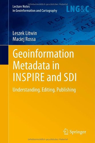
42 reviewsThe book is a new comprehensive textbook about creating and publishing geoinformation metadata. It is a compendium of knowledge about geoinformation metadata in INSPIRE Directive and Spatial Information Infrastructures. It contains the knowledge necessary to understand prior to the creation of geoinformation metadata. Metadata – “data about data” - describe the layers of spatial data (data series, services) responding to the questions: what?, why?, when?, who?, how? and where? Geoinformation metadata allows for exact search of the spatial data according to given criteria, regardless of where this data is located. On 15 May 2007 the EU Directive 2007/2/EC came into force establishing Infrastructure for Spatial Information in Europe - INSPIRE. The proper functioning of the infrastructure for spatial information would not be possible without the metadata.